"With easy access from the front range, Cheesman Lake, also known as Cheesman Reservoir is a popular manmade body of water near Deckers, Colorado. It is found along the South Platte River in southwestern Jefferson County and is approximately a 1 hour and 30 minute drive southwest from Denver." When read this passage I knew, there is my destination for my Saturday hike.

It took a while to get there. The last stretch of the road is
unpaved and dusty, but if you can get there early enough, it is not that
bad. Just don't make a mistake I made - don't park your car at the
parking about a mile before the lake with a stupid idea of reaching the
water body on feet. Yeah... it is a relatively short walk but as I
mentioned, the road is dusty... I mean DUSTY ;) In fact all my initially
black clothes were desert tan when I got back to the car ;)


In 1905,
the Cheesman Dam was built at a towering 211 feet (64 meters). At the
time, it was the largest dam of its kind in the entire world. In 1918,
the dam was purchased by the Denver Water Board as the Cheesman
Reservoir was used to supply water to the growing capital city (and
currently it stores tap water for Denver). Fast forward to 1973, and the
Cheesman Dam officially became a National Historic Civil Engineering
Landmark.


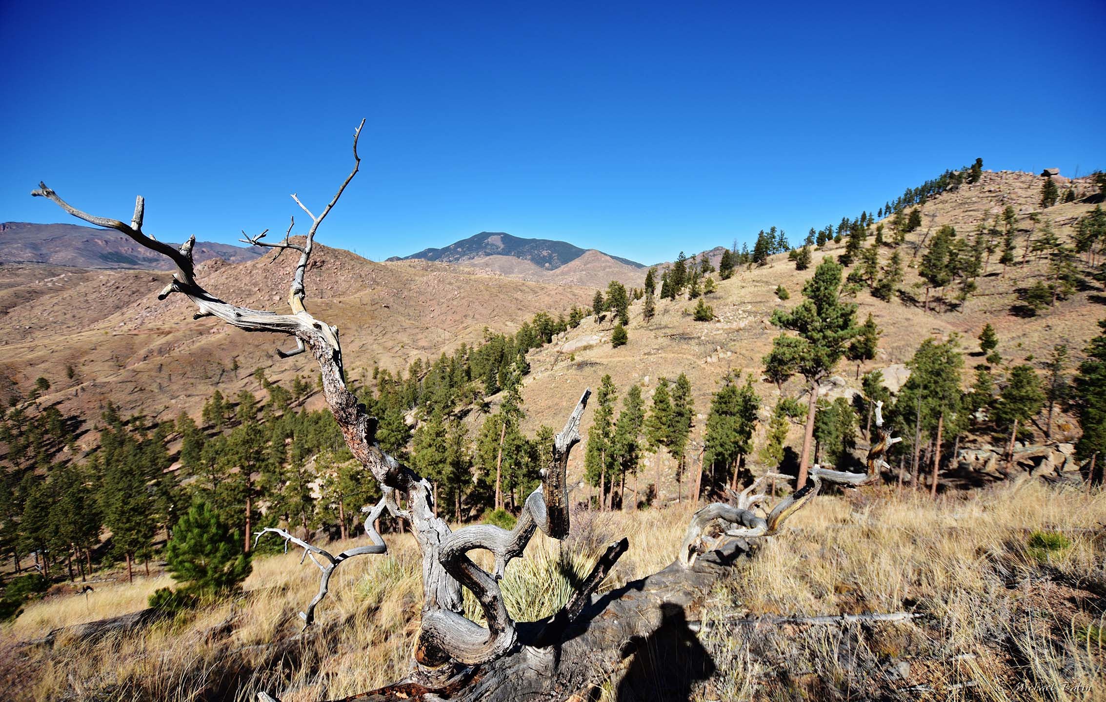
Once near the lake I hiked the Goose Creek trail (almost) that is running
up and down on the east side of the lake. The air there was cool and
fresh... The views were just amazing - I could see the lake most of the
hike. I didn't hike all the way down to the creek.. I stopped just
before the trail started descending, had my breakfast and turned back.


It's hard to consider this hike as a difficult one, but I made it
long - 6.6 miles (including more than 2 miles walking on a dusty road).
Over 1600 feet of elevation gain. Not really difficult, more like
moderate but it takes a while. BTW, back home I looked at the Google map
again and realized the "lake" I saw was only about a quarter of the
whole lake, which extends to the south far beyond what one can see from
the trail. The length of the coast line is over 18 miles! But it looks
much smaller when you are there.

Pictures were taken on October 22, 2022.
Amazing curves of the roads and shorelines!
ReplyDelete